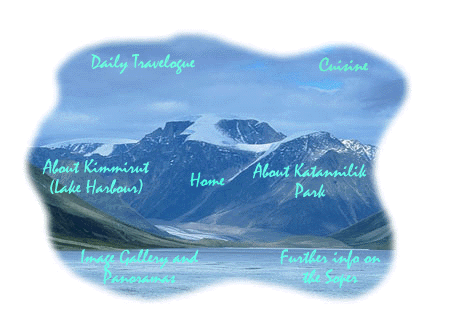

The general idea of this event is to allow people from around the world to follow a group of adventurers led by a well known wilderness canoeist, Maxwell Wilder Finkelstein ( Max ), as they travel down the Soper River. This is a Canadian Heritage River on the southeastern corner of Baffin Island. Through the use of mobile satellite technology, digital images, digitized audio and text will be transmitted back to Carleton University daily to update a World Wide Web site where curious visitors can explore, share, and follow the adventure.
An innovative and unique aspect of this event will be to provide visitors with a fuller appreciation of the beautiful scenery and vistas. Using techniques from virtual reality, full panoramic images will be created. These "Quicktime VR©;" panoramas are full 360 degree views of a scene. They permit a viewer to experience a scene, almost as if they were there. The images needed to create these VR panoramas will be taken and then transmitted back to Carleton University to be processed by computer and stitched into a single 360 degree panoramic image.
Using the same technology, we can create a 3D view of an object. One of the objectives of spending time in Iqaluit and in Kimmurut is to be able to create these 3D views of Inuit art and objects of interest. In fact, the Inuit themselves will be encouraged to use this technology to choose the panoramas and objects that they want the rest of Canada and the world to see and enjoy.
These 3D panoramas and objects can be viewed by anyone in the world using a browser and the freely available plug-in viewers.
Relying on his familiarity with the area and the expertise that Max has, we intend to create a highly visual and compelling view of the Soper River, the Katannilik Territorial Park, Iqaluit and Kimmirut. If time and weather permit, we will be adding a quick trip to the ocean and the offshore islands to include even more tantalizing images of this part of Canada.
Additional photographs, video and audio will be taken to further supplement the final site upon the conclusion of the
trip.
[Goto Top]
A ribbon of silver looping across a green valley, the Soper River, known as the Kuujuaq by the Inuit, runs from the barren, brown highlands of the Meta Incognita Peninsula to Pleasant Inlet on the south coast of Baffin Island.
The deep Soper Valley offers a rich microclimate that supports a profusion of flowers and a forest of willows. The abundance of plants, in turn, sustains a large number of caribou, fox, wolf and Arctic hare.
Most of the rivers on Baffin fluctuate from flood to trickle due to a
quick runoff caused by permafrost. The Soper, however, with a drainage basin
over 2,500 sq km, offers about 50 km of navigable waterway from July to September.
[Goto Top]
The Soper River is located on the southernmost peninsula on
Baffin Island, called the Meta Incognita Peninsula, It runs north to south,
starting halfway between Iqaluit (on Frobisher Bay) and Lake Harbour (on the
south coast).
Access to the Soper River is through Iqaluit, the administrative and
transportation centre of the Baffin Region, by daily jet service from Ottawa and
Montreal. From Iqaluit you charter a bush plane, or helicopter, to the Soper
River, or take a scheduled flight to Lake Harbour. As of 1995, there are flights
three times a week (For more information see Planning Your Trip.)
For centuries the Inuit have traveled the
Kuujuaq, 'great river', and given descriptive names to prominent features. In
1931, Dr. Dewey Soper surveyed the river valley and added many of the names found
on the Canadian Topo maps. In 1993, Bruce Downie wrote a guidebook on the
Itijjagiaq Trail and created names to facilitate interpretation of route
information, (The Itijjagiaq Trail starts on Frobisher Bay, crosses over the
highlands, and follows the east side of the Soper River to Lake Harbour.)
Descriptive names have also been added for river features.
How to Get There
These Web pages designed by the Arctic Adventure
Webmaster