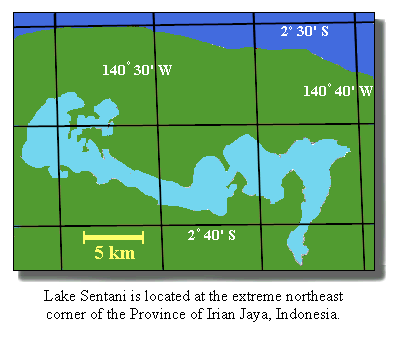
The lake is divisible into three main sectors with maximum recorded depths of 7 to 52 m . Average annual rainfall around the lake is about 2 m (FAO, 1972) and lake level fluctuates about 0.4 m with seasonal variation in inflow (Howard, 1987). The lake is widely believed to have evolved by the tectonic damming and uplift of an arm of the sea, but such a connection has not been demonstrated.
Because of its proximity to the provincial capital and the large population around it, Sentani is the best studied of Irian Jaya lakes. According to surveys in 1970-71, 1984 and 1987 (FAO, 1972; CIDA, 1985; Howard, 1987) the lake is thermally unstratified, with temperatures of 29-32 C in the top 10 m. Surface pH is 6.2-6.8 and, on the basis of turbidity, plankton levels are low at 1-2 mg/L except in the westernmost basin, where circulation is limited, turbidity is doubled and seasonal algal blooms, with resultant fish mortality, have been reported (CIDA, 1985).
The most recent survey (Renyaan, 1993) recorded 33 species of fish, of which 12 are indigenous, 8 anadromous and 13 introduced. Surveys over a 1 year period have shown an increase in introduced species but the impact on the total fish population has not been documented. Sawfish (Pristis microdon) up to 3 m or more were well known in the lake until the Seventies and are a common motif in traditional Sentani art, but appear to have become extinct.
Fish are extensively raised in ponds and cages around the perimeter of the lake and the introduction of species (particularly carp and tilapia) has been both accidental and intentional.